
Use of nocturnal thermal imagery
The client
Several farmers across Kent, working with Adonis Blue Environmental Consultants to understand how their land is used by wildlife after dark.
The challenge
Most ecological surveys are traditionally carried out during daylight, but there's growing recognition that sites and habitats need to be surveyed after dark too, since usage patterns can differ significantly between day and night. Farmers needed a clearer picture of how their fields were being used by birds and other wildlife at night, and what implications this might have for conservation on and around their land.
What We Did
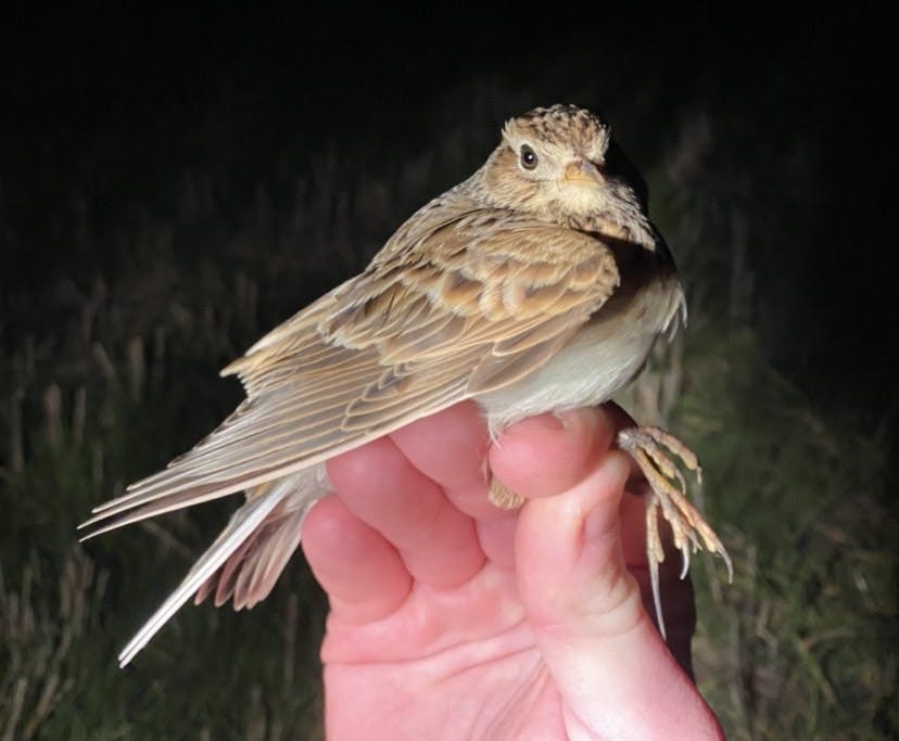
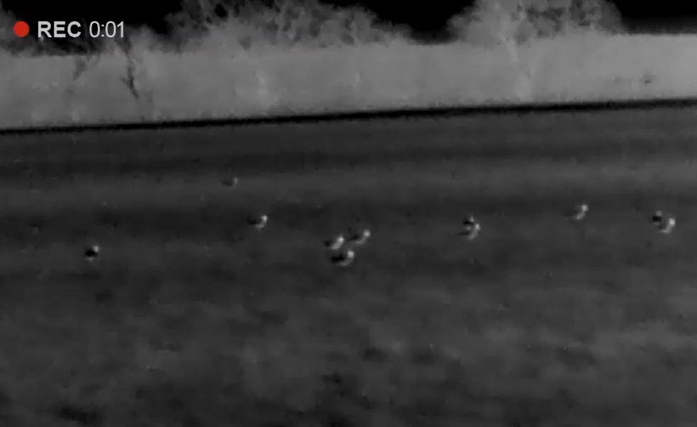
We used the latest thermal imagery technology to survey farmland at night, assessing use by different species and comparing results directly with daytime surveys at the same sites. We also applied thermal imagery to assess how wetlands are used by wildfowl after dark. This work has additionally enabled us to catch and ring bird species under licence that are typically difficult to survey by conventional means, including Woodcock, Snipe, and Skylark, integrating bird ringing into our farmland research.
The Outcome Achieved
The surveys revealed the regular presence of mammals including Water Vole, Hare, and Badger, and confirmed the importance of different field types for bird species such as Grey Partridge, Golden Plover, Lapwing, Snipe, Woodcock, and Skylark. This has meaningful implications for the resilience of adjacent protected areas such as SPAs and SSSIs — for example, wader species like Lapwing and Golden Plover are now known to use farmland for foraging more at night than previously understood. Understanding the local distribution of mammals such as Water Vole is also helping inform local conservation strategies, ensuring habitat restoration is targeted at the most effective locations.
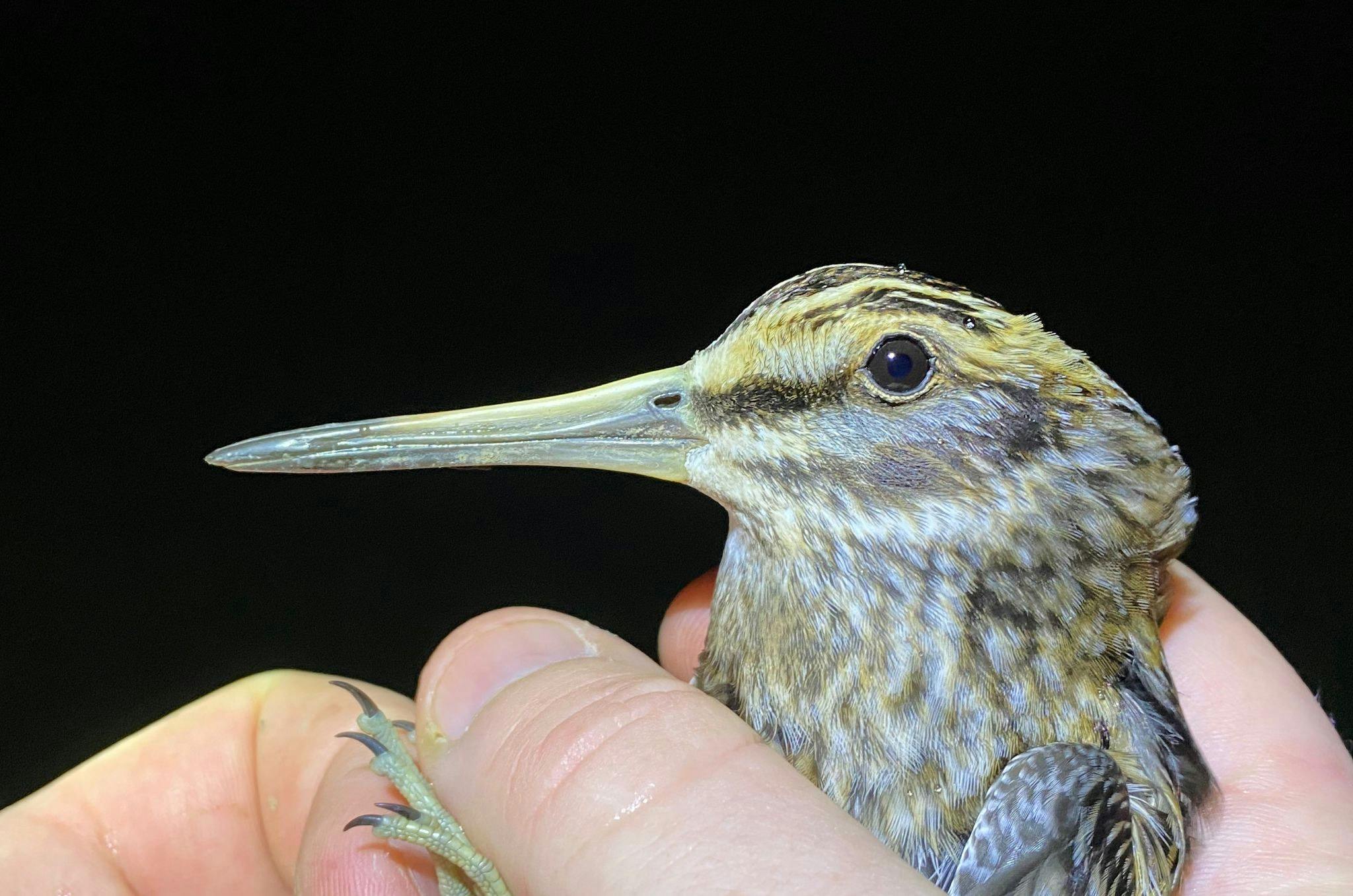
Star species: Water Vole, Hare, Badger, Grey Partridge, Golden Plover, Lapwing, Snipe, Woodcock, and Skylark.
![]()
Crawley Green Infrastructure & Biodiversity Net Gain Sites
The Client Crawley Borough Council (CBC) commissioned a strategic study to identify and prioritise opportunities for Green Infrastructure (GI), Biodiversity Net Gain (BNG) and nature recovery across the borough. The…Green Infrastructure AssessmentsGreen FinanceLPABNGCrawley![]()
Preliminary Ecological Appraisal and BNG assessment for Eyhorne Street, Hollingbourne
The client Cantium Land and Development Ltd, who commissioned Adonis Blue Environmental Consultants to deliver a Preliminary Ecological Appraisal (PEA) and Biodiversity Net Gain (BNG) assessment for a proposed development…BNGPEADevelopers


