Pent FarmBNG offset site
Local Planning Authority (LPA): Folkestone and Hythe
National Character Area (NCA): North Downs
OS grid ref: TR 13997 39360
Postcode: CT21 4EY
What3words: ///bends.snuggled.exchanges
Habitat units available - Surveyed 2023
A total of 8.19 habitat units and 1.45 hedgerow units are available from the following habitat types:
Grassland
Other neutral grassland (Medium distinctiveness) - 1.55 units
Heathland and Shrub
Mixed scrub (Medium distinctiveness) - 1.13 units
Woodland
Other woodland; broadleaved (Medium distinctiveness) - 5.51 units
Hedgerow
Native hedgerow with trees - 1.45 units
Site description
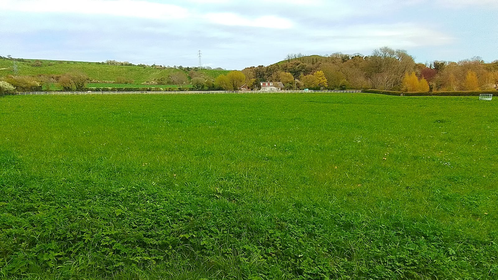
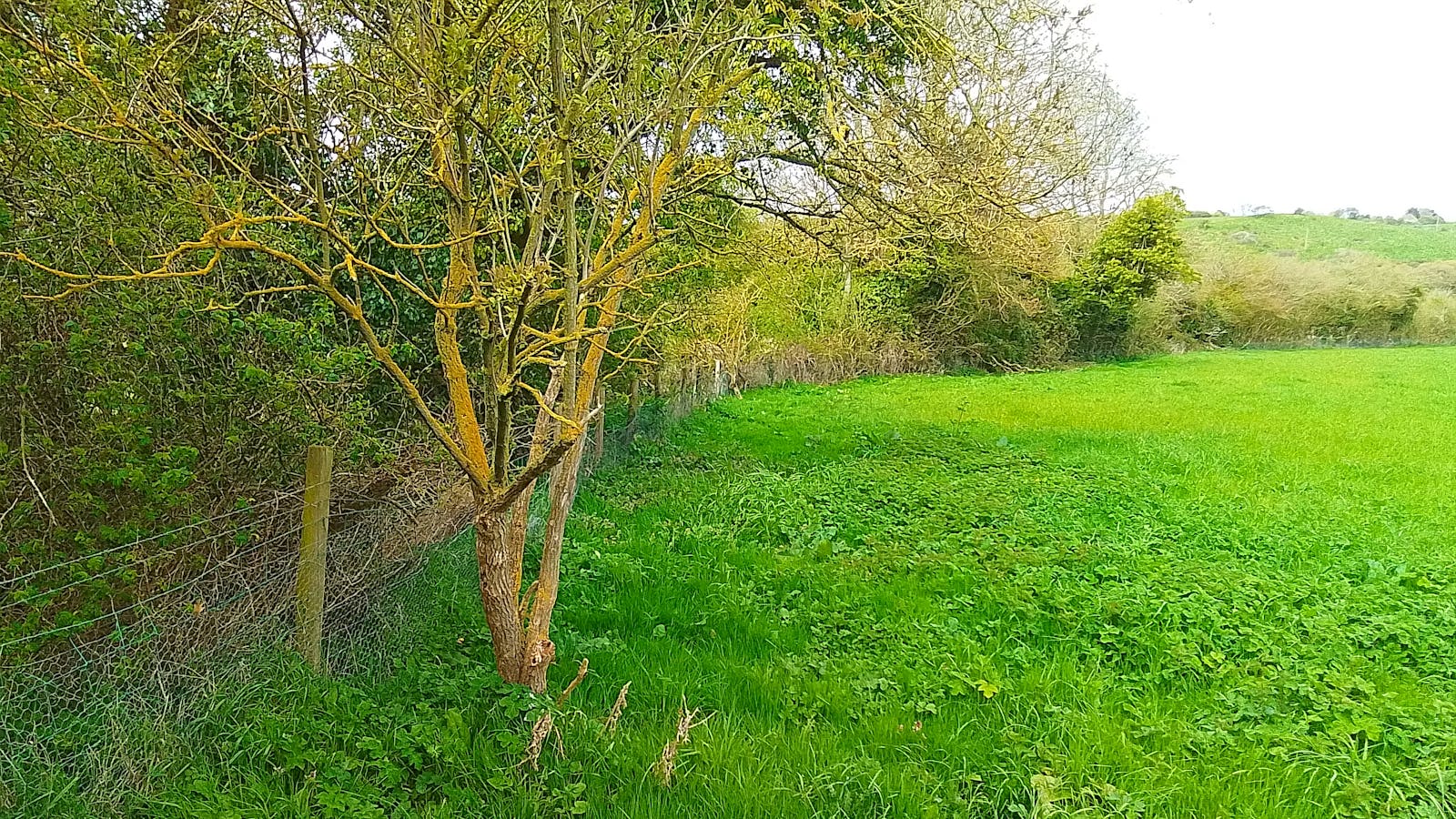
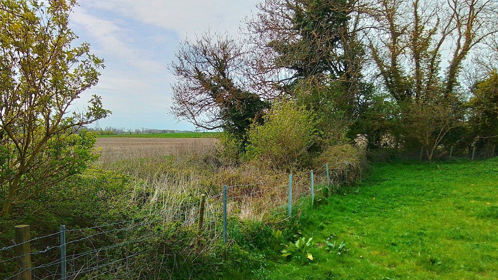
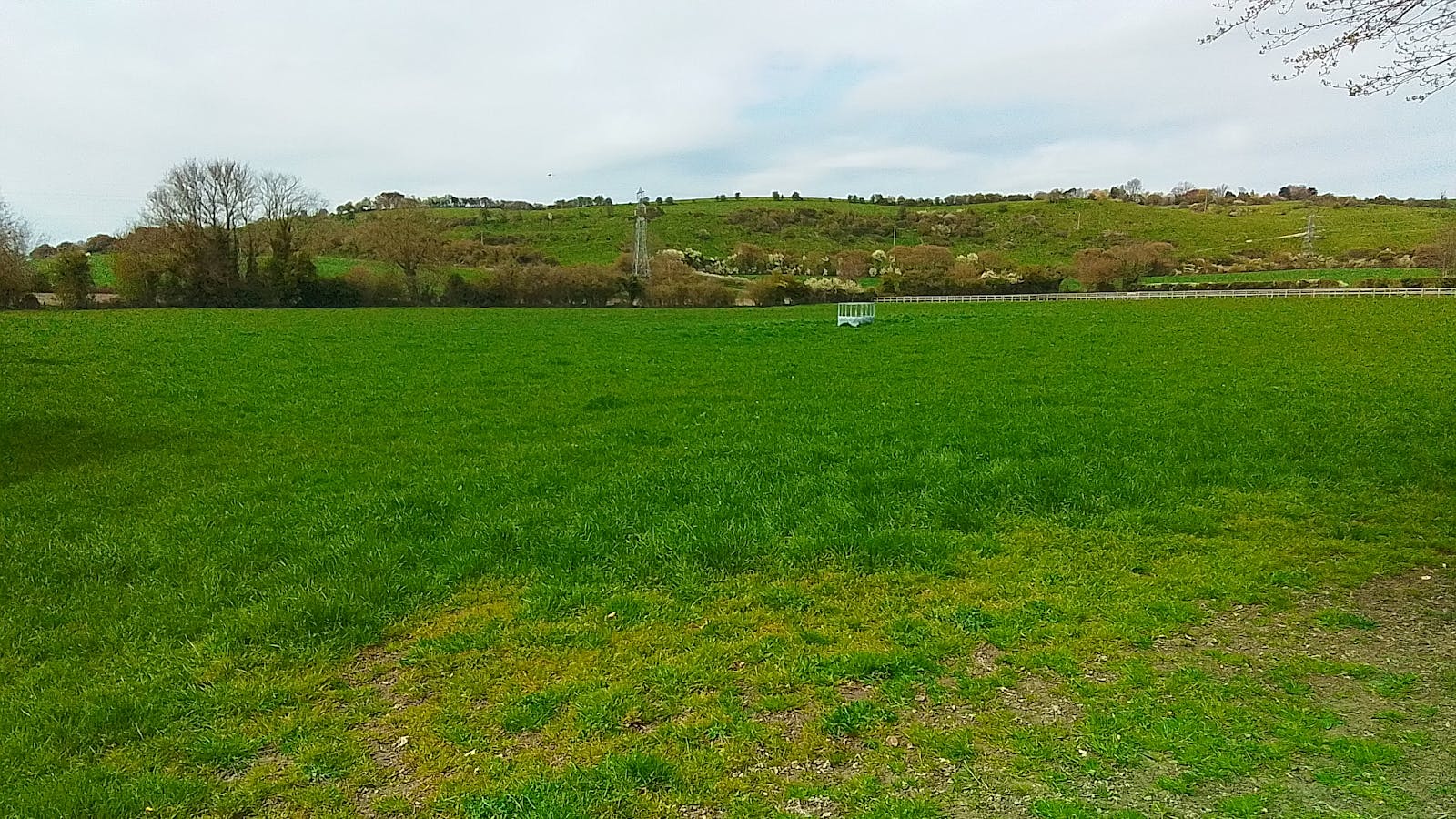
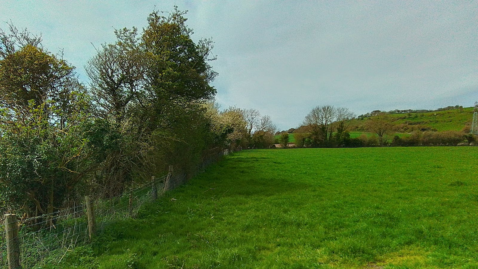
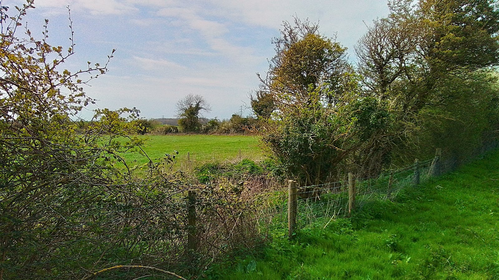
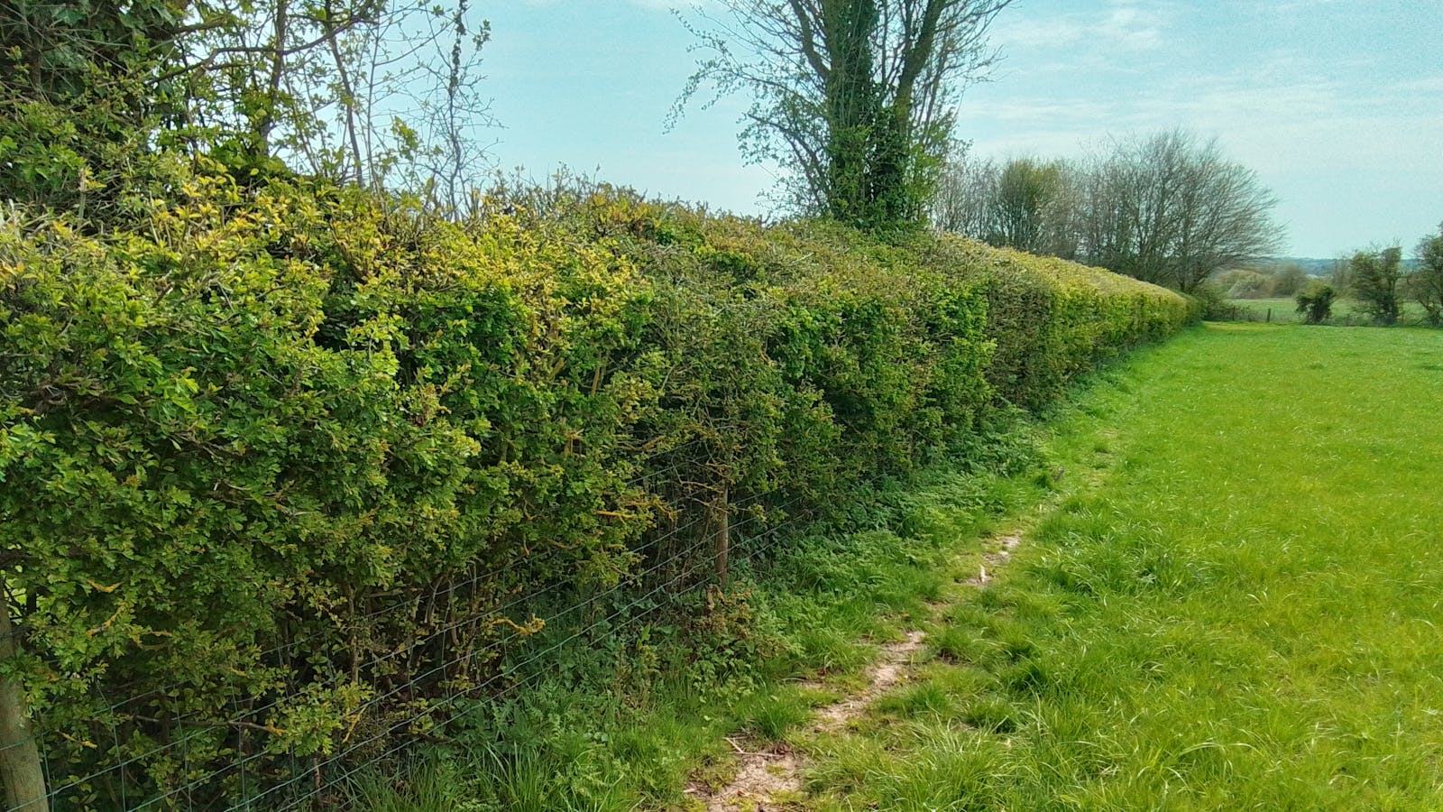
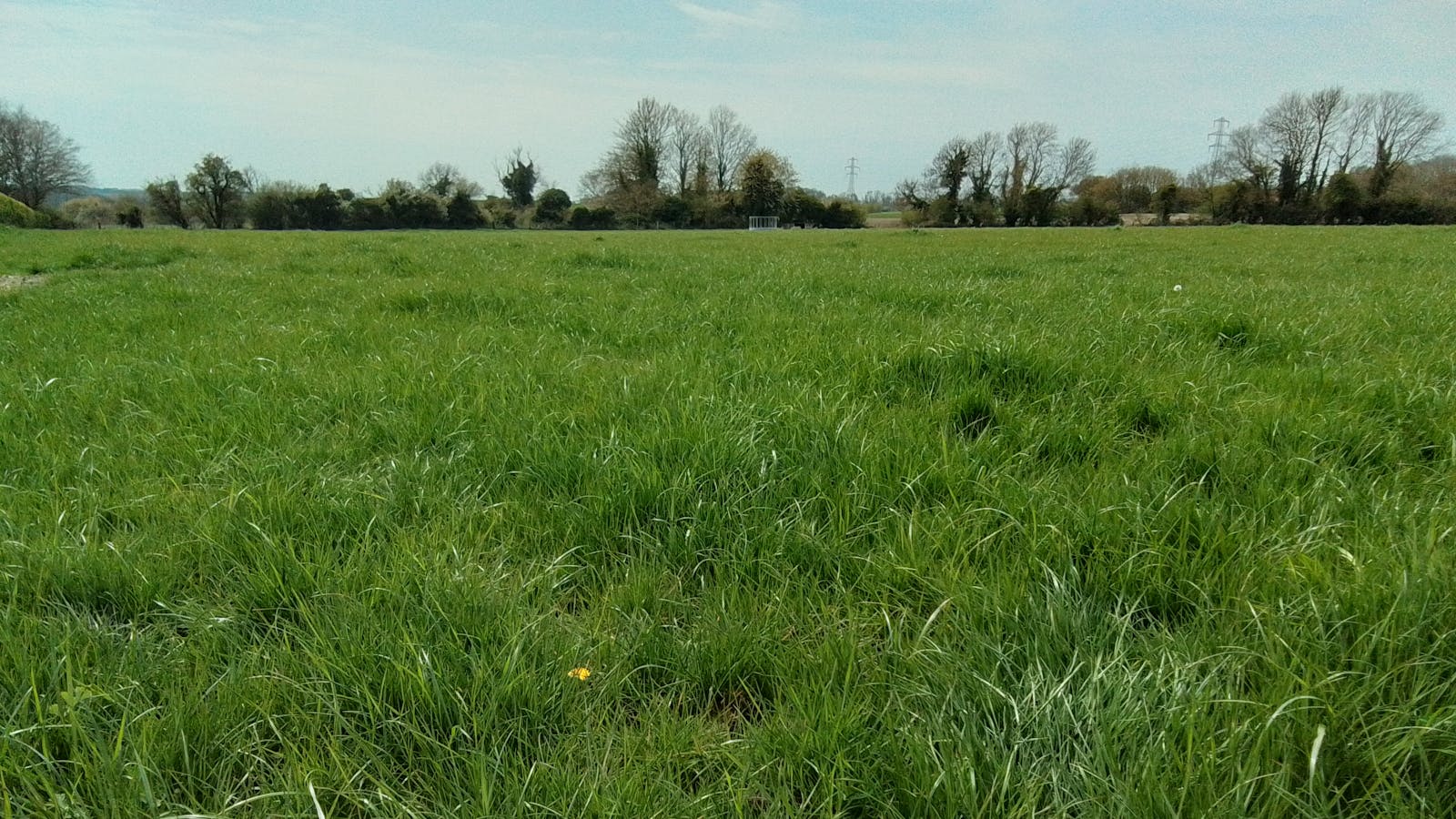
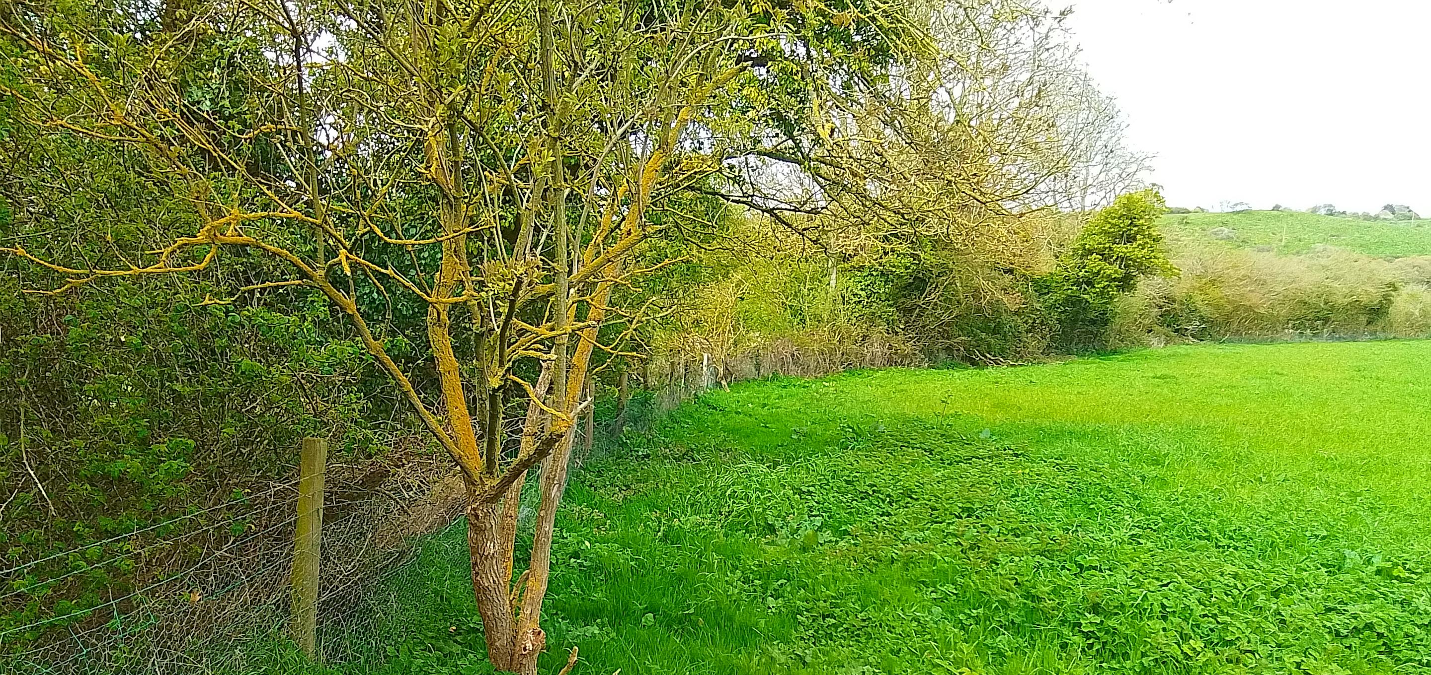
Pent Farm is a 2.14 ha site located approximately 4.8 km north of Hythe and 2.4 km southwest of Lyminge. It consists of a species-poor modified grassland surrounded by hedgerows. The site lies about 140 m south of the Postling Down Local Wildlife Site, which is designated because it comprises unimproved and semi-improved lowland calcareous grassland.
The land at The Pent will be restored for nature, with other neutral grassland being created at the northern end to help buffer the LWS, which will blend through a scrubby strip into other woodland, broadleaved at the southern end.
Being positioned on lime-rich loamy soils, the site has good potential to be naturally colonised by some of Postling Down's chalk grassland indicator species over time as the soil nutrient content and pH falls.
The woodland will act as an excellent 'stepping stone' for wildlife and provides important habitat for breeding birds such as Great Spotted Woodpecker and Sparrowhawk.
Fill out a form at the bottom of this page or email your development's BNG metric to bngenquiries@adonisblue.org.uk for a free BNG consultation.
These units are valid for a maximum of two years, provided site conditions do not significantly change. If more than two years have lapsed between the site survey and habitat works being undertaken, an updated survey will be necessary to ensure recommendations remain valid.

Habitat Transitions


Site Photos
